ITS Receives Grant Worth IDR 2 Billion
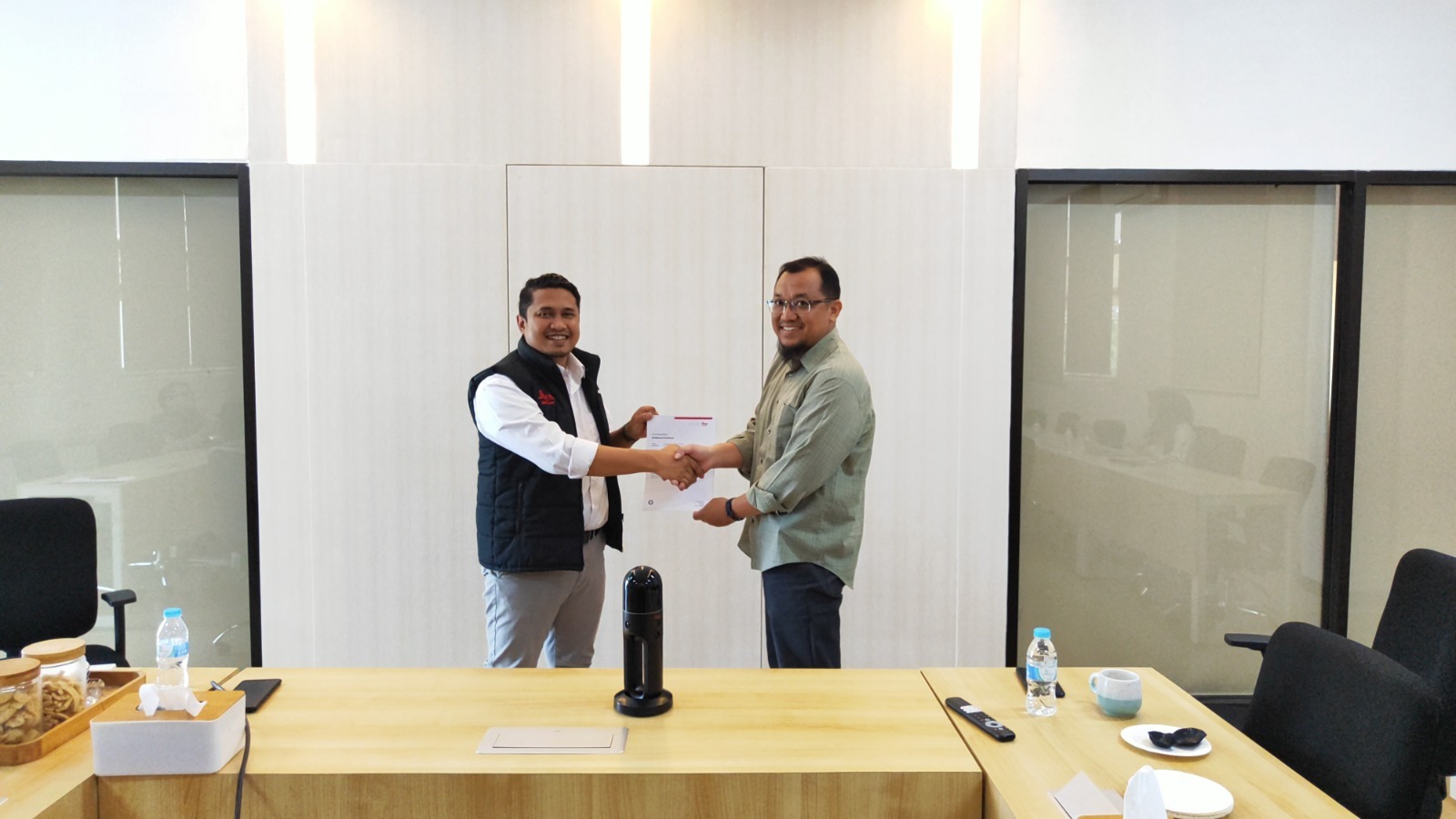
Head of the Department of Geomatics Engineering at the Institut Teknologi Sepuluh Nopember (ITS), Danar Guruh Pratomo ST MT PhD (right), symbolically receiving a grant from PT Leica Geosystem Indonesia through PT Sonar Nusantara Utama.
ITS Campus, ITS News – The Department of Geomatics Engineering at the Institut Teknologi Sepuluh Nopember (ITS) has once again received a technology grant, this time in the form of Cyclone software from PT Leica Geosystem Indonesia through PT Sonar Nusantara Utama. The grant, worth IDR 2 billion, aims to strengthen technological progress in the field of geomatics, such as infrastructure or building development monitoring, 3D modeling, and deformation monitoring.
The grant, with a validity of three years, includes several software, such as Leica Cyclone register360 PLUS, Leica Cyclone 3DR, Leica Cloudworx for Revit, AutoCAD, and BricsCAD. The grant was handed over directly by representatives of PT Leica Geosystem Indonesia and PT Sonar Nusantara Utama to the Head of the Department of Geomatics Engineering at ITS, Danar Guruh Pratomo ST MT PhD.
The II Secretary of the Department of Geomatics Engineering at ITS, Dr. Ing Noorlaila Hayati ST MT, explained that this software is useful for analyzing point clouds from laser scanning data. These point clouds are three-dimensional points representing the surface of specific physical objects or environments. “These point clouds are obtained from laser scanning,” she explained.
Furthermore, the ITS Geomatics Engineering alumnus explained that this software can quickly and accurately perform 3D scanning processes. Not only that, but the application is also capable of analyzing and measuring 3D scanning results in detail. “Cyclone can also visualize the results of data analysis well,” added the lecturer affectionately known as Laila.
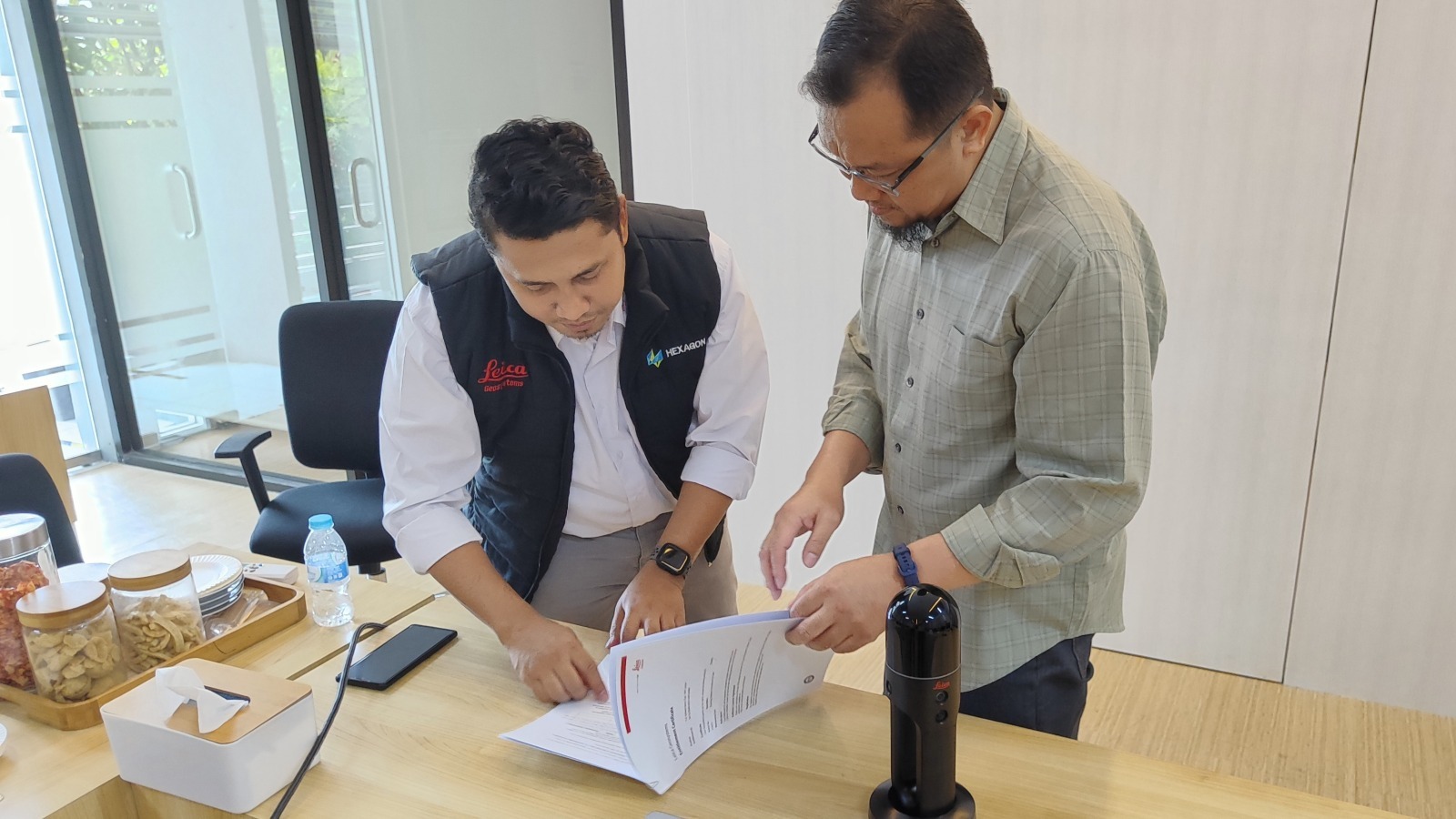
The MoU signing for the donation of Leica Cyclone software between PT Leica Geosystem Indonesia and PT Sonar Nusantara Utama with the Department of Geomatics Engineering at ITS.
Given the various uses of this software, the Department of Geomatics Engineering at ITS plans to utilize it in the fields of education, research, and community service. In academics, students will be given an understanding of the features available in Cyclone. “We will also incorporate it into several courses and labs to deepen students’ understanding,” she explained.
In the research field, Cyclone is planned to be applied to optimize the reconstruction process of cultural heritage sites. The results of this reconstruction process are expected to become an educational tool in museums or educational settings. Its 3D modeling capability can facilitate museum visitors in studying historical sites in more detail.
As a form of community service, according to Laila, there will also be open general training in the future for the government and stakeholders to deepen their understanding of Leica Cyclone. “The government’s demand for detailed 3D modeling requires stakeholders to master this software,” she said.
As a gesture of gratitude, this Banjarmasin-born woman hopes to maximize the utilization of this software. She also hopes that the grant will benefit the wider community. “Hopefully, it can strengthen the technological progress in Indonesia and be further developed for the better,” she concluded enthusiastically. (ITS Public Relations)
Reporter: Mohammad Febryan Khamim
Translator : Nabila Luthfiani
Related News
-
ITS Sends Off 12 Free Mudik Vehicles Ahead of Eid Al-Fitr
The dispatch of 11 bus fleets carrying ITS students for the Free Mudik ITS 2024 ITS Campus, ITS News
December 02, 2023 11:12 -
ITS Lecturer Wins 2024 Female Science Talents Intensive Tracks from Germany
Sri Fatmawati SSi MSc PhD, a lecturer at the Department of Chemistry, ITS, has emerged as the winner of
December 02, 2023 11:12 -
ITS Shares Tips & Tricks on SNBT 2024 Socialization
(from left) Executive Secretary of SNPMB 2024, Bekti Cahyo Hidayanto SSi MKom, Head of the Admissions Subdirectorate at ITS,
December 02, 2023 11:12 -
Supporting Defense in Indonesia, ITS Professor Creates Anti-Radar Material
Professor Dr. Mashuri SSi MSi, while delivering his academic oration on anti-radar materials during the ITS Professorial Inauguration. ITS
December 02, 2023 11:12