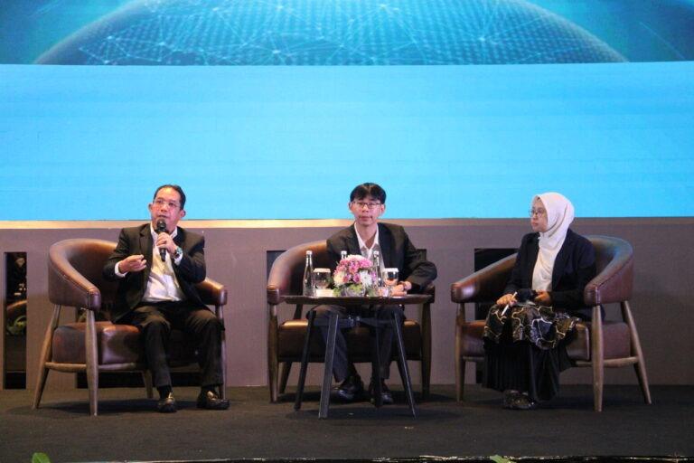
Surabaya, ITS News — As climate change continues to increase the frequency and intensity of natural disasters worldwide, the need for more adaptive and data-driven disaster mitigation systems has become increasingly urgent. Responding to this challenge, the Department of Geomatics Engineering at Institut Teknologi Sepuluh Nopember (ITS) hosted the 11th Geomatics International Conference (GeoICON) 2026 at the DoubleTree by Hilton Hotel, Surabaya, on Wednesday (July 15).
Opening the conference, ITS Vice Rector III for Human Resources, Organization, and Information Systems Technology, Imam Baihaqi ST MSc PhD, stated that the organization of GeoICON reflects the university’s strong commitment to producing research with tangible societal impact. He also expressed his appreciation for the participation of researchers from 11 countries—Indonesia, Malaysia, Vietnam, the Philippines, Thailand, South Korea, Japan, China, Saudi Arabia, France, and Australia—whose contributions enrich international collaboration in geomatics and climate research.
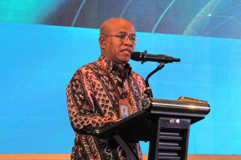
Chair of GeoICON 2026, Dr Muhammad Aldila Syariz ST MS PhD, explained that this year’s conference theme was inspired by the growing occurrence of climate-related natural disasters. According to him, these conditions underscore the urgent need to leverage geospatial intelligence to strengthen disaster risk mitigation and preparedness.
Furthermore, Aldila noted that the conference aims to bring together researchers and practitioners to discuss the development of more effective multi-hazard early warning systems. By integrating artificial intelligence (AI) with advanced geospatial technologies, stakeholders can generate faster and more accurate information, ultimately improving decision-making processes during potential disaster events.
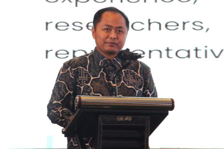
Carrying the theme “Climate Resilience and Geospatial Intelligence for Multi-Hazard Early Warning Systems,” GeoICON 2026 seeks to strengthen global climate resilience through the application of geospatial intelligence. This integrated approach enables spatial, environmental, and climate-related datasets to be combined into comprehensive disaster risk analyses, supporting more effective planning and emergency response strategies.
Supporting this perspective, Deputy for Climatology at the Indonesian Agency for Meteorology, Climatology, and Geophysics (BMKG), Dr Ardhasena Sopaheluwakan, highlighted the critical importance of timely and accurate geospatial data in policymaking. According to him, future climate resilience depends on the seamless integration of advanced technologies.
“That integration includes satellite observations, real-time monitoring, and Geographic Information Systems (GIS),” he explained.
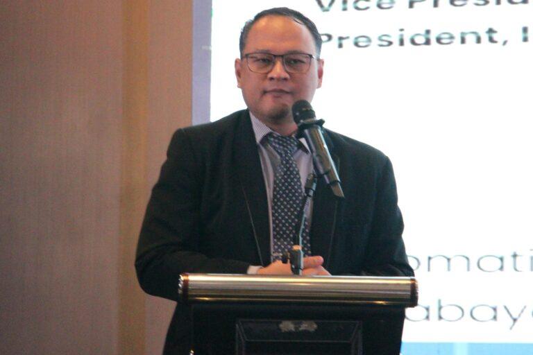
Concluding his presentation, Ardhasena emphasized that strengthening climate resilience requires close collaboration among governments, academia, industry, and research institutions. He believes that an open and interconnected geospatial ecosystem will accelerate innovation and improve preparedness against a wide range of natural hazards.
“Climate resilience can only be achieved through strong collaboration supported by science and technology,” he concluded.
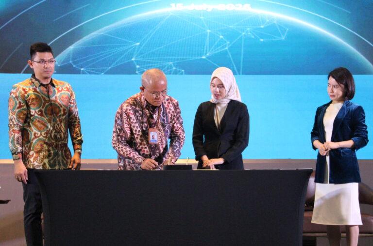
As part of the conference, ITS also signed memoranda of understanding (MoUs) with PT Cakra Pratamindo, SuperMap GIS, and OseanLand to strengthen collaboration in geospatial research and technology development.
Through the organization of GeoICON 2026, ITS reaffirms its commitment to advancing the United Nations Sustainable Development Goals (SDGs), particularly SDG 13 (Climate Action), SDG 9 (Industry, Innovation and Infrastructure), and SDG 17 (Partnerships for the Goals) by fostering innovative research, technological development, and global research partnerships.
Reporter: Naurah Fitri
Editor: Mohammad Febryan Khamim