Flood Disaster Comprehensive Mitigation
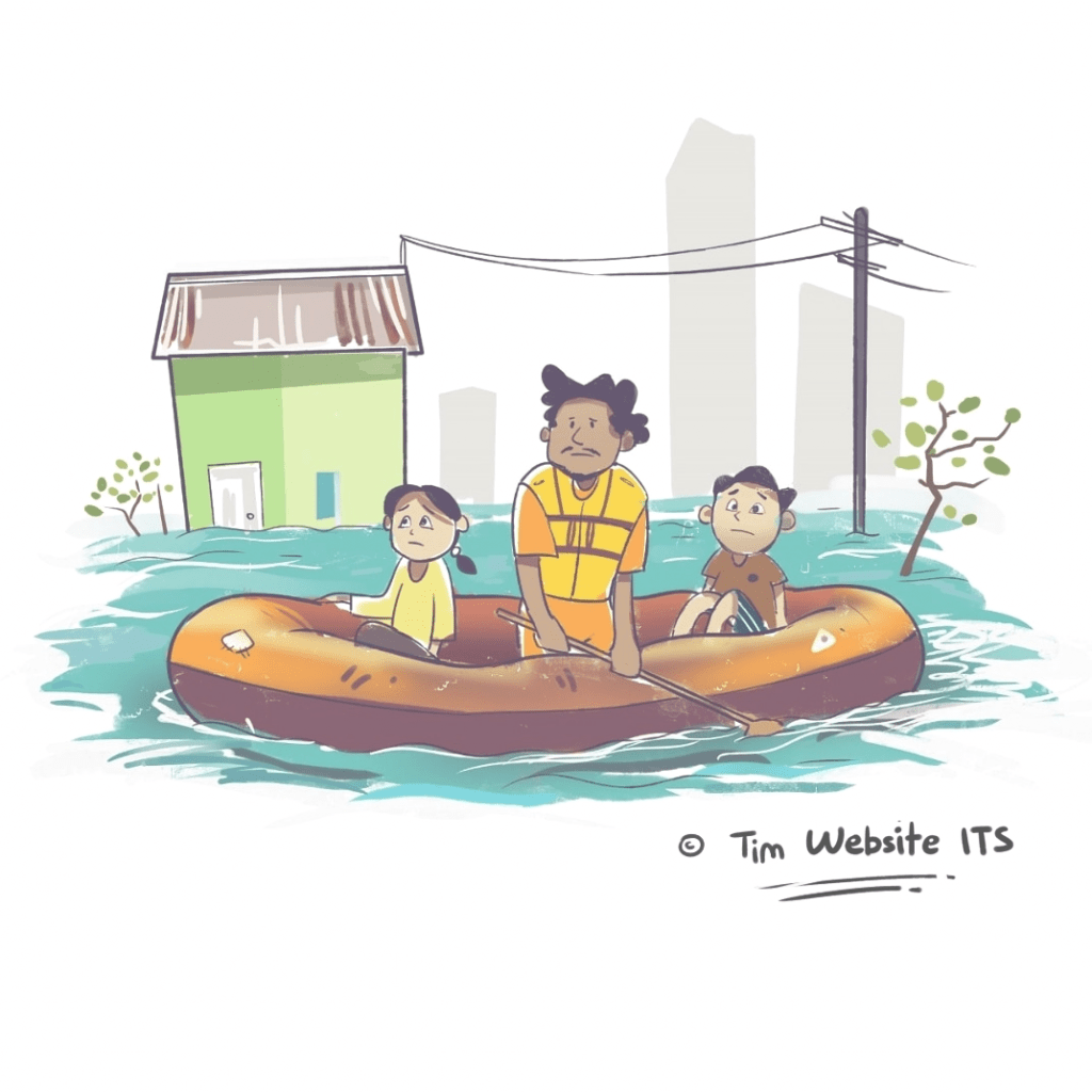
ITS Campus, Opinion — The rainy season has just begun, floods have hit various provinces in Indonesia. Majority of the media reported flood everywhere. But unfortunately, the media always claimed the reason behind it are the heavy rains, and this can cause literacy confusion about the flood. Because the rain will most certainly come and will pass the same path, so if there is a problem in the path of the water, flood is inevitable.
Flood mitigation cannot be done partially or segmentally but must be comprehensive along the river from upstream to downstream. Mitigation must be carried out immediately because all regional and central apparatus is commanded by the National Disaster Management Agency (BNPB) or the provincial, district, or city Regional Disaster Management Agency (BPBD). Sometime in the future, there will still be a flood disaster, because rain with high intensity will continue to occur until March 2020.
It is recognized that the cost of mitigation is expensive, but it is certainly more expensive to reconstruct the damage and replace the economic losses caused. In 2012, the United Nations recorded a mitigation fee of US $ 1 equivalent to 7 dollars in emergency and recovery costs. Even worse, if there are casualties, then life is priceless. For a detailed mitigation study, it is necessary to walk along the river from upstream to downstream. So that we will know that there has been a very extraordinary change in the top, middle, and downstream.
Changes in the upstream
At the top of the mountain is already dominated by tourist areas, settlements, hotels, villas, plantations, and annual agriculture. Rainwater that should seep into the ground turns into surface water which will encourage soil erosion. The eroded soil will enter the river and cause siltation of the river or channel. As a result, the capacity of a river or channel is reduced and will overflow. If erosion occurs every year and sedimentation or siltation becomes thicker, the surface water that enters the river becomes less accommodated and the flooded area will expand each year.
The soil layer on the slope will also be critical and will easily slide. During this time the soil on the slope can stick because of the roots of trees. By turning into an annual plant, the roots of the annual plant fibers cannot increase cohesion or soil binding. The fiber roots are not the same as the supporting roots that function as haunted or nails. Even worse, if the land cover in the upstream area is built-up lands, such as hotels, villas, and housing, then the possibility of landslides is very large. Landslides that enter the river can be followed by flash floods.
Changes in the middle
Thick river sedimentation causes additional space on the river banks. Additional space is tempting many people to occupy the prince’s land. As a result, people began arriving in groups to make houses every year. The change in function that was originally prepared for the waterway turned into a dense permanent residential area. Even more pathetic, the river used as a trash bin. When the volume of water is large, the river valleys cannot hold anymore so that the water overflows into a flood. Because there are more settlements along the river, the waterway is getting narrower so that flooding will also become more widespread. Initially, it only flooded illegal settlers in flooded river valleys, when the waterway was getting narrower, the flood would spread to other places that had never been flooded.
Changes in the downstream
The middle and downstream part is groundwater pumping and development without considering water resources reserves. In some places, groundwater extraction exceeds the allowable reserve volume. This results in slow or rapid subsidence. One sign of subsidence is the emergence of a puddle that had never been inundated.
Flood risk management
Risk management must be carried out in all parts in a comprehensive manner from upstream to downstream so that the risk of this seasonal disaster can be reduced and may even be prevented. Cooperation between the central, provincial, and district or city governments is imperative because surface water or flood water will not recognize administrative boundaries. Modeling can provide an accurate simulation picture, thus providing sufficient moving space for evacuation. Accurate modeling will offer the most effective solutions for reducing the risk of flood disasters.
In conclusion, measurable actions and cooperation are necessary for flood risk management.
Written by:
Dr. Ir. Amien Widodo, M.Si., and Adjie Pamungkas, S.T., M.Dev.Plg., Ph.D.
ITS Disaster Mitigation and Climate Change Research Center
Related News
-
Gerigi ITS 2024, a Spark of Enthusiasm for Freshmen Contributions
ITS Campus, ITS News — Institut Teknologi Sepuluh Nopember (ITS) again held Generasi Integralistik (Gerigi) as a place to
January 07, 2020 15:01 -
ITS Team Wins the Sustainable Bridge Competition 2024 Event
ITS Campus, ITS News — Students of Institut Teknologi Sepuluh Nopember (ITS) again made brilliant achievements in the construction field.
January 07, 2020 15:01 -
Supports Learning, FKK ITS Establishes Technology Display and Digital Cadaver
ITS Campus, ITS News — The commitment of Institut Teknologi Sepuluh Nopember (ITS) to continuously improve the quality of
January 07, 2020 15:01 -
ITS, QUT, and UTS Collaborate to Enhance Flood Resilience
ITS Campus, ITS News — Institut Teknologi Sepuluh Nopember (ITS), together with Queensland University of Technology (QUT) and the
January 07, 2020 15:01