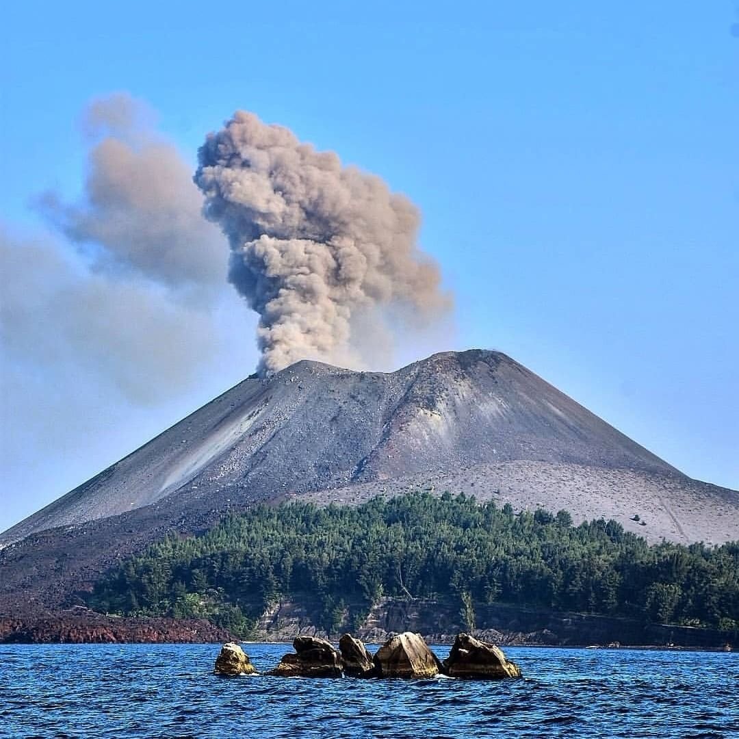
Image of the eruption that occurred at Mount Anak Krakatau (Photo: Pixabay)
ITS Campus, ITS News — Recently, it was reported that Mount Anak Krakatau (GAK) erupted on Friday (September 4th), relatively close to the eruptions of Mount Ibu, Lewotolok, and Semeru. The eruptions of these four volcanoes, occurring within a short period of time, are often considered a domino phenomenon caused by a single geological factor.
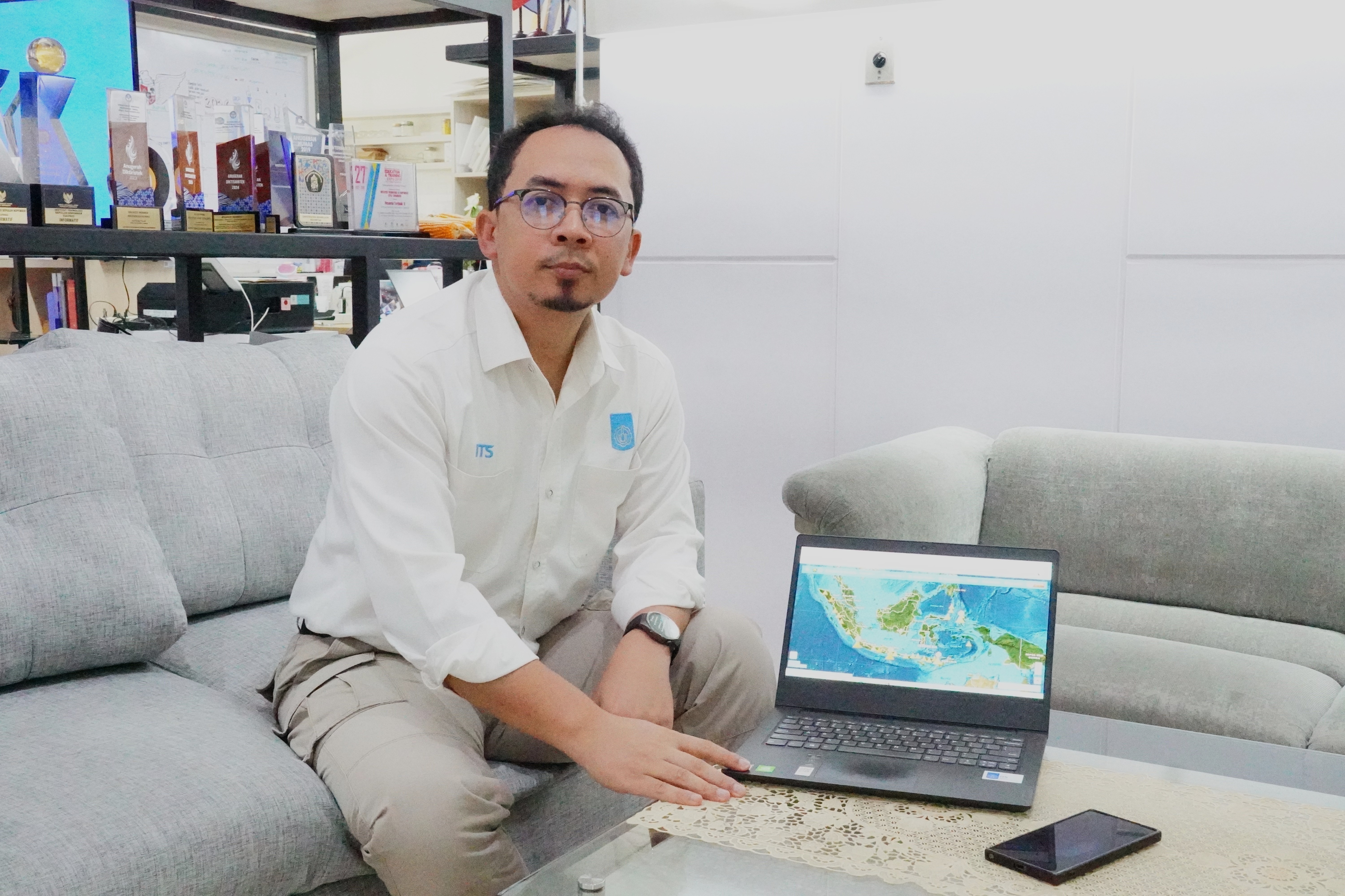
Geologist Dr. M. Haris Miftakhul Fajar, MEng, from the Sepuluh Nopember Institute of Technology (ITS), explained that the volcanic and tectonic activity is a natural phenomenon triggered by high-energy earth processes. This includes earthquakes and volcanic eruptions spread across various regions of the Indonesian archipelago.
Haris explained that each volcano inherently has unique characteristics and a distinct eruption cycle. Therefore, their activity cannot be generalized. “The phenomenon of multiple volcanoes erupting simultaneously is part of the natural dynamics resulting from regional tectonic activity,” Haris explained.
ITS Geologists Invite the Public to Understand Volcanic Activity in Indonesia
Haris further stated that each volcano has its own magma chamber system, magmatic processes, and independent tectonic characteristics. For example, Mount Semeru and Krakatoa are influenced by the interaction of the Indo-Australian Plate subducting beneath the Eurasian (Sunda) Plate, while Mount Ibu has a different tectonic system due to double subduction.
Meanwhile, Mount Lewotolok is unique because it lies near the boundary of a subduction process that has ended. “This condition leaves a geological structure in the form of a tear in the subducted slab, which provides a magma supply,” explained Haris.
The Head of the ITS Geophysical Engineering Department also explained that the magma chamber within the Earth functions like a sponge-like cavity with channels formed by large cracks in the rock. This cavity holds the molten rock from within the Earth.
Haris explained that the abundant fluid and water vapor within the magma have characteristics similar to soda in a closed bottle. “The higher the gas pressure, the more likely it is that an eruption will occur when the pathway is opened,” he said.
On the other hand, the magma chamber will slowly cool if the magma supply from beneath the earth stops and there are no further triggers for tectonic activity. This very slow cooling causes the minerals in the magma to crystallize in an orderly manner. “So the mountain’s volcanic activity will gradually cease on its own without triggering an eruption,” Haris explained.
Furthermore, volcanic eruptions are also triggered by external factors, such as tectonic earthquakes, which exert pressure on an already full magma chamber. The sudden increase in pressure causes the cap or gap in the chamber to break free, triggering an eruption. However, this is greatly influenced by the distance between the earthquake source and the magma chamber.
Therefore, Haris explained that the activity level of each volcano varies greatly. Some continue to exhibit continuous seismic activity, while others can remain completely dormant for hundreds of years before reactivating. Due to this variation, monitoring is carried out continuously and classified into four levels: Normal, Alert, Standby, and Warning.
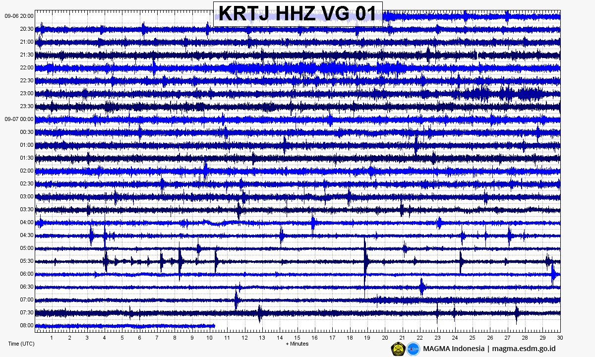
A live seismogram report of Mount Anak Krakatau displayed on the PVMBG’s Magma Indonesia page (Photo: Magma Indonesia)
This status is measured based on seismic monitoring, volcanic deformation, visual observations of the smoke column, and geochemical data. For example, the GAK eruption was dominated by a relatively small Strombolian eruption. However, it did have a fairly long duration, lasting almost 25 hours continuously.
This long duration resulted in a continuous supply of volcanic ash being ejected into the air, reaching significant heights. “The ash spread in two directions—southeast to the Banten region and west-southwest to Lampung and the Indian Ocean—depending on the prevailing wind levels at the time, as confirmed by analysis of BMKG’s Himawari-9 imagery,” said the lecturer in the ITS Department of Geophysical Engineering.
Haris emphasized that volcanic dynamics are a natural process that needs to be understood based on monitoring data. Understanding the characteristics of volcanoes is crucial for building preparedness for these geophysical dynamics.
This understanding aligns with the Sustainable Development Goals (SDGs), particularly SDG point 11, which aims to ensure safe spatial planning from hazard zones and strengthen infrastructure resilience. Understanding the dynamics of volcanic activity, the magma cycle, and their impact on the environment surrounding volcanoes supports the preservation of terrestrial ecosystems, as outlined in SDG 15. (ITS Public Relations)