
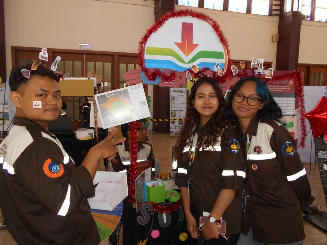
Kampus ITS, ITS News — Concerned about the phenomenon of land subsidence occurring in urban coastal areas, students from the Department of Geomatics Engineering at the Institut Teknologi Sepuluh Nopember (ITS) designed SUBTRACK, a Web Geographic Information System (WebGIS) for mapping priority zones for residential infrastructure affected by flooding and heavy-duty vehicle traffic.
To provide further insight, Ananda Khozin, Chair of Group 9 of the DTG Jalesveva Thematic Work Camp, explained that there are several factors causing land subsidence. For example, in the Tanjung Perak subdistrict of Surabaya, land subsidence is influenced by soil consolidation caused by rainfall as well as mechanical pressure from heavy-duty vehicle traffic. “According to InSAR data, the rate of land subsidence in the city of Surabaya reaches approximately 6.1 millimeters per year, concentrated in the western and northern areas,” said the student, who is often called Veva.
The data processing began with the use of ground surface deformation imagery from the Sentinel-1 satellite, which carries a C-band Synthetic Aperture Radar (SAR) sensor. This satellite can measure surface deformation down to the millimeter scale under various weather conditions and at different observation times. Next, an analysis of the deformation time series for the 2016-2025 period was conducted using LiCSBAS software with the Small Baseline Subset (SBAS) method, which utilizes interferograms from the LiCSAR portal.
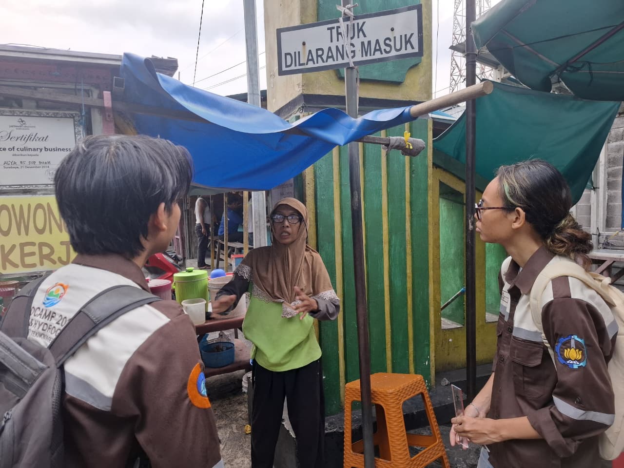
Furthermore, flood modeling was also conducted in two dimensions using HEC-RAS 2D software. The rainfall data entered into the software was sourced from the Meteorology, Climatology, and Geophysics Agency (BMKG), while the surface elevation data was obtained from a Digital Surface Model (DSM) generated by Light Detection and Ranging (LiDAR). In addition to this secondary data, a direct on-site count of heavy vehicles passing through the Tanjung Perak subdistrict was also conducted. “Data collection on the number of vehicles was carried out for two hours per day over a period of seven days,” he explained.
Before creating the priority zone map, all the accumulated data was integrated through a weighted overlay process and the Analytical Hierarchy Process (AHP) using ArcGIS Pro. The final outputs of this study consist of three main products: a map of subsidence rates in Surabaya, a flood risk map for the Tanjung Perak subdistrict, and a WebGIS-based interactive map application to identify priority areas for residential infrastructure development.
With this innovation, the public is expected to be more aware of the risks of land subsidence and flooding in their surrounding areas. Veva and her team hope that this priority zone map can serve as a reference for the government in formulating more targeted infrastructure management policies in the Tanjung Perak neighborhood. “Possible recommendations include improving drainage systems and strengthening road infrastructure in zones with high subsidence rates,” she said.
This innovation, initiated by ITS students, accelerates progress toward achieving Sustainable Development Goal (SDG) 9 on Industry, Innovation, and Infrastructure. In addition to its benefits for flood mitigation, this innovation also contributes to SDG 11 on Sustainable Cities and Communities. (ITS Public Relations)
Reporter: Ahmad Husein Al Qomary