ITS Campus, ITS News — To address the geospatial challenges facing the community, the Geomatics Engineering Department of the Sepuluh Nopember Institute of Technology (ITS) presents a platform for innovation and collaboration through the Vectra Expo 2026. The event, which showcased students’ innovative work, took place at the Balai Pemuda Building in Surabaya, Wednesday (3/6).
ITS Director of Academic Development and Learning Innovation, Prof. Dr. Ir. Aulia Siti Aisjah, MT, expressed her appreciation for the capstone design event, which presented innovative ideas to address societal challenges. “This activity not only serves as a platform for implementing lecture theory, but is also expected to have a positive impact on the wider community,” she said.
Vectra Expo 2026 Executive Chair Faris Muhammad Danish Habibi explained that this activity is part of the implementation of work camp learning that integrates various student competencies. In the process, students design technology-based solutions according to their areas of interest in five laboratories in the ITS Geomatics Engineering Department: the Geomarine Laboratory, Geospatial Laboratory, Geodesy and Geodynamics Laboratory, Geoinformatics Laboratory, and Surveying and Cadastre Laboratory.
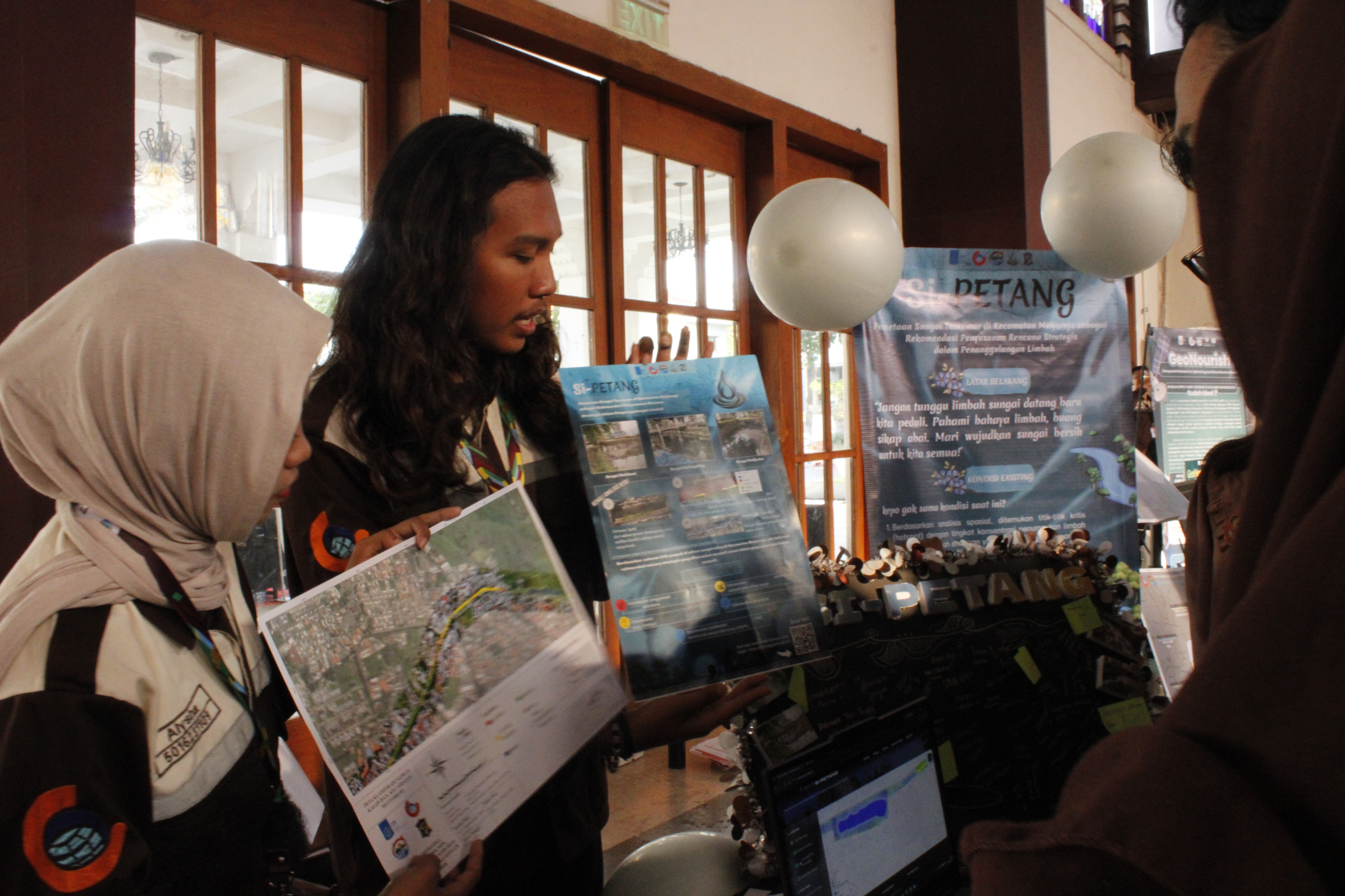
Furthermore, the student from the ITS Geomatics Engineering Department revealed that 23 innovative works were exhibited at the event. The various works addressed strategic issues ranging from the environment and disaster mitigation to health and urban planning and cultural preservation.
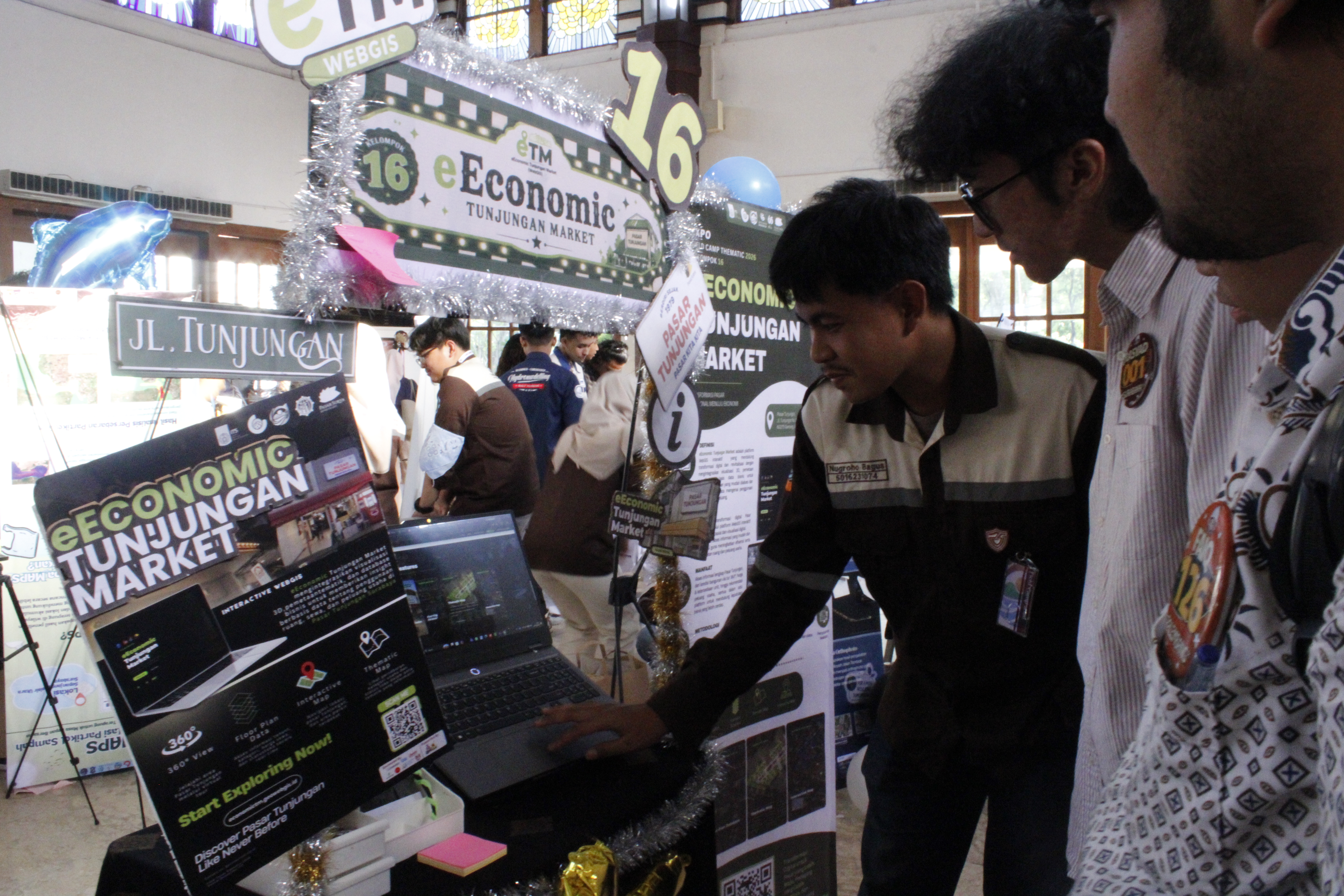
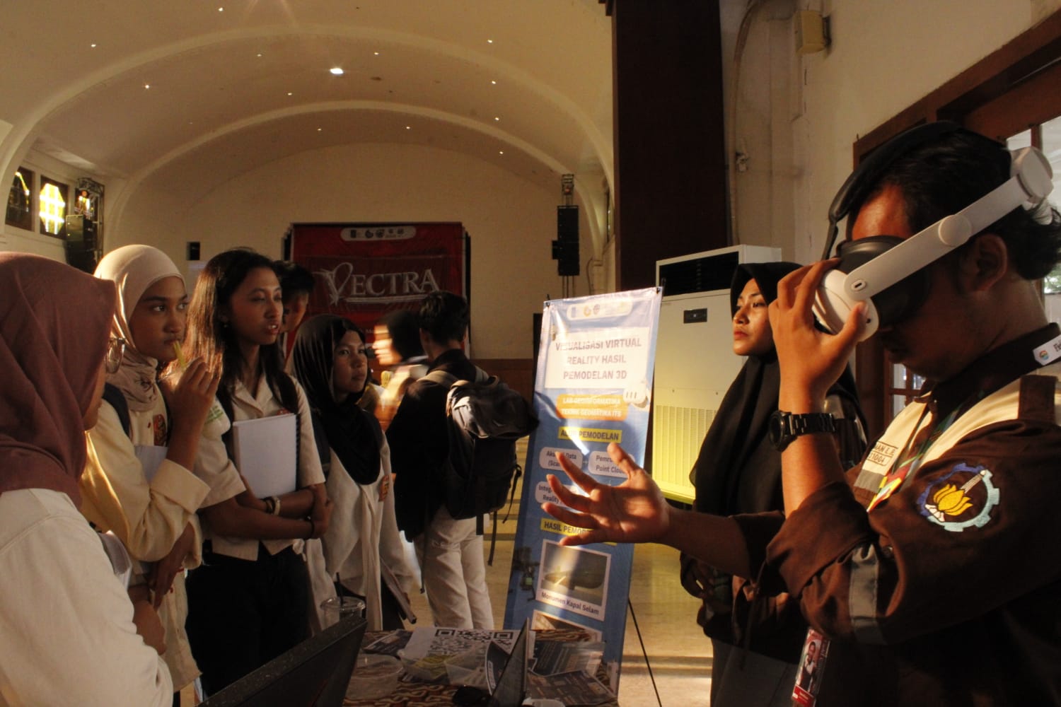
One of the most eye-catching innovations is MUSEEUM, an integrated WebGIS and virtual tour system designed to support the digitalization of museums in Surabaya using virtual reality (VR). Furthermore, another innovation aims to optimize economic activity at the Tunjungan Market: the Interactive WebGIS e-Economic Tunjungan Market.
Meanwhile, in the urban governance and public services sector, students developed ITSafe, a WebGIS-based system to identify sexual violence vulnerabilities within the ITS campus. Another innovation is KepuTrack, a participatory GIS platform that allows the public to report various environmental issues directly to the village government. These innovations demonstrate how geospatial technology can be utilized to address community needs more effectively and data-driven.
In addition to the exhibition, Vectra Expo 2026 also featured a talk show session discussing the role of geomatics technology in mitigating climate and environmental impacts. This forum encouraged students and visitors to understand how geospatial technology can be a crucial instrument in supporting more adaptive and sustainable development.
Enthusiasm also came from various partners involved in the student exhibition. One partner representative stated that the innovations produced by the students were able to provide alternative solutions to various problems faced in the field. He stated that the data- and technology-driven approach offered by the students helped accelerate the process of identifying problems and developing more targeted policy recommendations.
Through Vectra Expo 2026, Faris hopes that the ITS Geomatics Department can further strengthen collaboration between universities, government, industry, and the community in addressing various development challenges. This activity also aligns with ITS’s commitment to supporting the Sustainable Development Goals (SDGs), specifically point 9 on Industry, Innovation, and Infrastructure. Furthermore, point 11 on Sustainable Cities and Settlements, and point 13 on Climate Change Management, are also addressed. (ITS Public Relations)
Reporter: Hani Aqilah Safitri
Translate: Devinka Mutianeira