Improving Satellite Image Accuracy, ITS Professor Researches Correction Methods
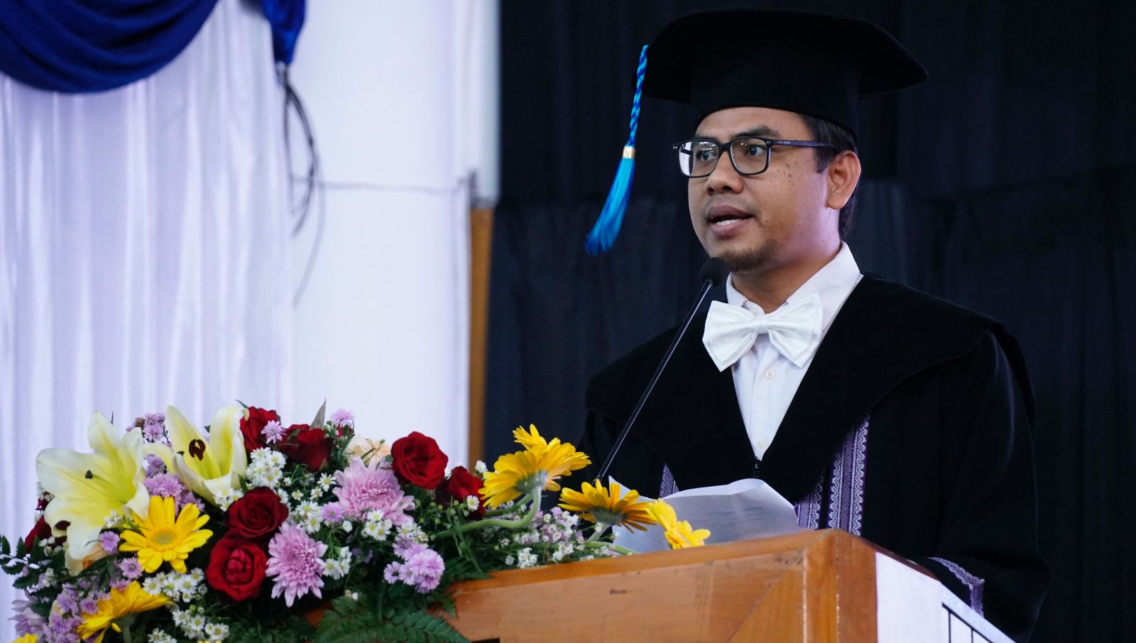
Prof Lalu Muhamad Jaelani ST MSc PhD from the ITS Geomatics Engineering Department when presenting his scientific oration at the ITS Professor Inauguration event regarding Satellite Image Accuracy
ITS Campus, ITS News – Remote sensing data recorded using satellites requires a correction stage to produce accurate data. Seeing this, the 173rd Professor or Professor of the Institut Teknologi Sepuluh Nopember (ITS) Prof Lalu Muhamad Jaelani ST MSc PhD researched satellite image correction algorithms and object detection on the earth’s surface.
Lalu explained that the development of science in the field of remote sensing has shifted a lot. From previously obtaining geometric accuracy in images, to how to process spectral data from images into various useful information. “This change is an opportunity for a lot of research,” said this professor in the field of passive remote sensing.
The use of image spectral data requires image quality improvements due to errors in data collection. Errors can be caused by interference with electromagnetic radiation energy and the influence of the sun’s elevation angle. “My research this time will focus on eliminating the influence of atmospheric layers or atmospheric correction in satellite images,” he explained.
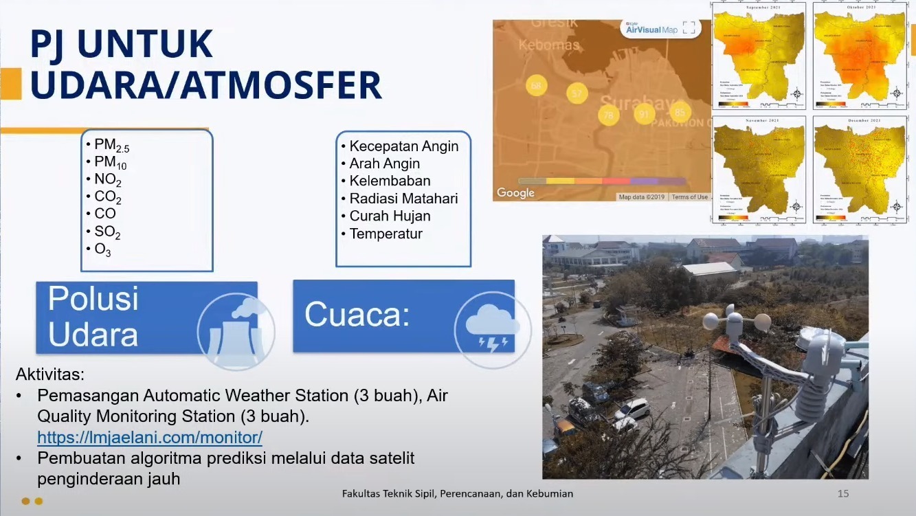
The process of recording air quality parameter data from satellite images after atmospheric correction
In his scientific oration, the man born in Kotaraja explained that sensors on satellites record a mixture of signals originating from reflections on the earth’s surface with gas particles in the atmosphere. Under certain conditions, only 10 percent of the recorded signal comes from water, the rest from the atmosphere in the form of the visible color spectrum. Therefore, atmospheric correction is needed to obtain a pure signal from the earth’s surface.
Furthermore, according to Lalu, through processing visible color spectrum data, information can be obtained from the earth’s surface that may not be visually visible to our eyes. Such as use in water to monitor water quality. “This information can be detected using remote sensing satellite sensors,” explained the 2003 graduate of ITS Geodetic Engineering.
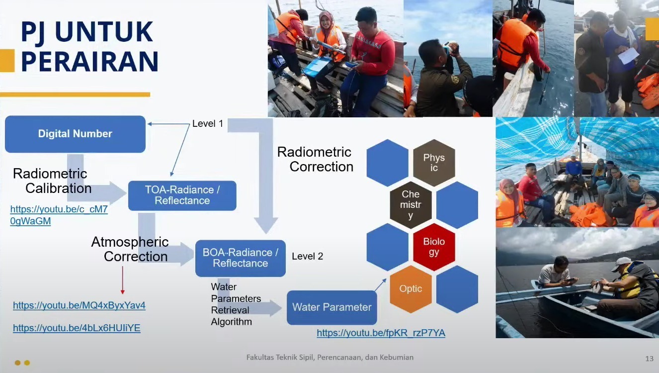
Data collection stage and atmospheric correction process in water areas
Apart from water, the bespectacled man continued, the results of the research he had carried out were also applied in land and air areas. Such as monitoring sources of air pollution to overcome declining air quality in certain areas. Apart from that, mapping disaster-prone areas can be used to assist disaster mitigation efforts.
The Head of the ITS Community Service Subdirectorate revealed that the data used in this research was remote sensing data related to the earth’s surface which was recorded directly. After that, the atmospheric correction process uses image processing software, one of which is ArcGIS. Therefore, the estimation of Earth’s surface parameters by remote sensing is highly dependent on atmospheric corrections.
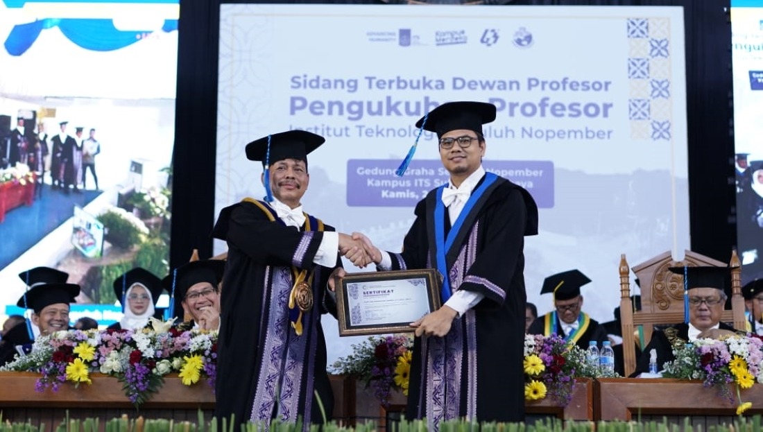
Prof Lalu Muhamad Jaelani ST MSc PhD (right) when he was appointed as ITS’s 173rd professor
This doctoral graduate from the University of Tsukuba, Japan also said that the use of remote sensing data requires the availability of accurate basic data as well as precise and fast processing methods. “Hopefully the availability of remote sensing data and accurate modeling algorithms can improve products with high accuracy as well,” he concluded. (ITS Public Relations)
Reporter: Rayinda Santriana U S
Related News
-
Gerigi ITS 2024, a Spark of Enthusiasm for Freshmen Contributions
ITS Campus, ITS News — Institut Teknologi Sepuluh Nopember (ITS) again held Generasi Integralistik (Gerigi) as a place to
November 20, 2023 16:11 -
ITS Team Wins the Sustainable Bridge Competition 2024 Event
ITS Campus, ITS News — Students of Institut Teknologi Sepuluh Nopember (ITS) again made brilliant achievements in the construction field.
November 20, 2023 16:11 -
Supports Learning, FKK ITS Establishes Technology Display and Digital Cadaver
ITS Campus, ITS News — The commitment of Institut Teknologi Sepuluh Nopember (ITS) to continuously improve the quality of
November 20, 2023 16:11 -
ITS, QUT, and UTS Collaborate to Enhance Flood Resilience
ITS Campus, ITS News — Institut Teknologi Sepuluh Nopember (ITS), together with Queensland University of Technology (QUT) and the
November 20, 2023 16:11