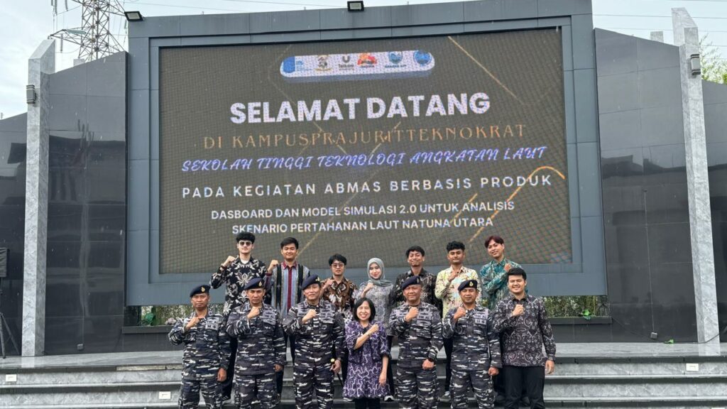
Surabaya, F-ELECTICS ITS – The North Natuna Sea has once again become the center of Indonesia’s geopolitical attention. This region, which serves as a major international trade route, holds significant natural resource potential while also facing vulnerabilities due to unilateral claims from other nations. This situation demands a decision support system capable of providing rapid, accurate, and data-driven analysis. This is where the DAHANA App comes in as an innovation developed through close collaboration between the Sepuluh Nopember Institute of Technology (ITS) and the Naval Technology College (STTAL).
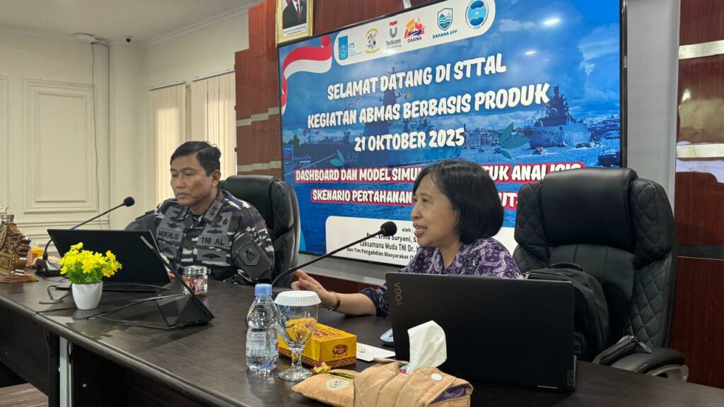
The concept of DAHANA originated from the need for an analytical tool capable of comprehensively monitoring maritime dynamics. This project is led by Prof. Erma Suryani, S.T., M.T., Ph.D., as the head of the community service team and a lecturer in the Department of Information Systems. The idea for DAHANA originated from the need to provide an analytical tool capable of providing a complete picture of maritime conditions in these vulnerable areas. This project is led by Prof. Erma Suryani, S.T., M.T., Ph.D. as the head of the community service team and a lecturer in the Department of Information Systems, who emphasized that this application is designed to help decision makers deal with increasingly complex maritime situations. “We want to provide a system that not only displays data, but also helps decision makers understand the overall maritime situation,” said Prof. Erma.
From the military side, validation was carried out by First Admiral Dr. Mukhlis, S.T., MM. along with other senior STTAL officers, including Colonel Yoyok, Colonel Wawan, and Colonel Okol, who were key partners in ensuring that all models were truly in line with field conditions. The technical team was comprised of students who developed the Minimum Essential Force model, threat models, and dashboard designs to ensure the application is easy to operate by personnel with fast-paced work rhythms.
The need for a system such as DAHANA arises from two main issues. First, maritime situation analysis has thus far relied on data scattered across various sources, making it difficult to integrate when threats arise. Second, decision-making in vulnerable areas such as Natuna requires simulations that can comprehensively predict various possible scenarios. With threats becoming increasingly dynamic due to the Nine-Dash Line claim and international tensions, a reliable analytical dashboard is a must.
The development of DAHANA began with the preparation of a conceptual model based on defense theory and military operational experience. Each variable was tested by STTAL to ensure its suitability for real conditions at sea. Once the application design was complete, the team conducted layered testing, starting with unit testing, system integration, and sensitivity testing using historical data. This method ensures that every recommendation produced is consistent, logical, and accountable.
One of DAHANA’s main distinguishing features is its proximity to the local context. Unlike generic foreign analytical systems, DAHANA is specifically designed for Natuna, from patrol patterns and threat intensity to the characteristics of ships operating in the region. The application not only visualizes data but also provides scenario simulations and policy recommendations that help commanders understand the impact of each tactical choice. The existence of an internal discussion forum makes it a collaborative space for maritime decision-makers.
The collaboration between ITS and STTAL does not stop at providing data, but includes comprehensive validation. All scenarios are tested through back-testing and operational evaluation by experienced personnel to ensure that the application works realistically. This process provides an extra layer of security while ensuring that DAHANA is not only academically superior, but also capable of functioning in real-world conditions.
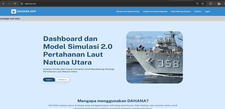
The DAHANA App is scheduled for release in December 2025 and will serve as a strategic analytical tool for monitoring security dynamics in the North Natuna Sea. Following its launch, the application will be gradually integrated with military defense systems, in accordance with protocols applicable to maritime institutions. The team also ensures that all data processing is carried out in a closed environment, with complete encryption and strict access controls to maintain the confidentiality of operations.
The presence of the DAHANA App confirms that defense innovation does not always originate from military laboratories, but also from academic collaborations that combine science, technology, and real-world needs. Amidst the increasing geopolitical complexity of the region, this application is a strategic step in strengthening Indonesia’s maritime preparedness.