The Role of Seamap for Indonesia’s Navigation and Economic Development
The rector of ITS Prof Mochamad Ashari when giving the opening ceremony of GeoIcon 2019
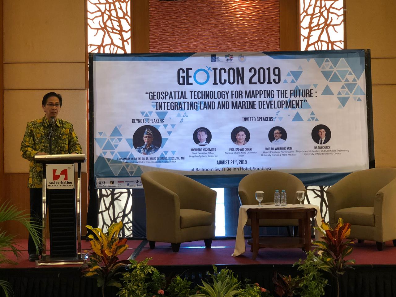
ITS Campus – ITS News, Geomatics International Conference (GeoIcon) 2019 by the Department of Geomatics Engineering Institut Teknologi Sepuluh Nopember (ITS) re-held for the fourth time, Wednesday (21/8). The events of these academics discuss the importance of sea mapping for the safety of navigation and the development of a country’s economy.
The international conference titled Geospatial Technology for Mapping the Future: Integrating Land and Marine Development invited several speakers from various foreign universities. Among these are Dr. Ian Church from the University of New Brunswick Canada, Prof Kai Wei Chiang from National Cheng Kung University Taiwan, and Prof Wan Mohd Main from Universiti Teknologi Mara Malaysia.
The head of the Committee of GeoIcon 2019, Danar Guruh Pratomo Ph.D., said, the main focus of the annual celebration of the Departement of Geomatics Engineering would like to introduce that hydrography is important for the benefit of the people. According to him, not many know how important the map of nature, especially the sea map. “Because the seamap is not very familiar, ” he said.
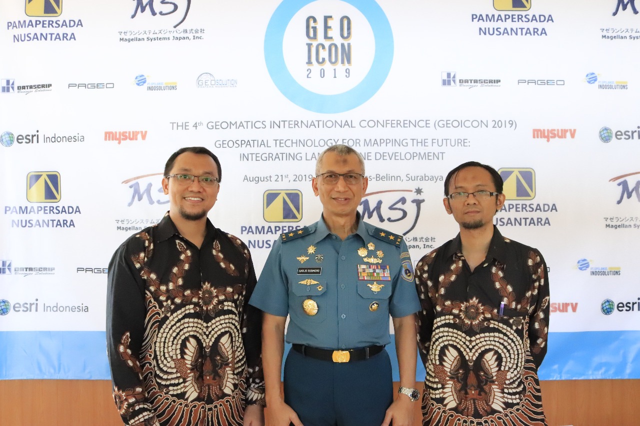
(from left) Chairman of the Committee GeoIcon 2019 Danar Guruh Pratomo, head of Hydrographic and Oceanographic Center of the Indonesian Navy Rear Admiral Dr. Ir Harjo Susmoro, and Head of Departement of Geomatika Engineering Mokhamad Nur Cahyadi
Whereas Danar continued, Indonesia is a coastal country whose composition is dominated by the sea. So with this activity, there can be a brainstorm on the map of the sea. “Because each country has different sea characteristics,” said this lecturer of the Departement of Geomatics Engineering.
In Indonesia, seamaps are useful for navigation safety purposes. Also, marine mapping can be useful to support a country’s economy. “For example, access to ports, goods distribution lines, and so on,” said this bright man.
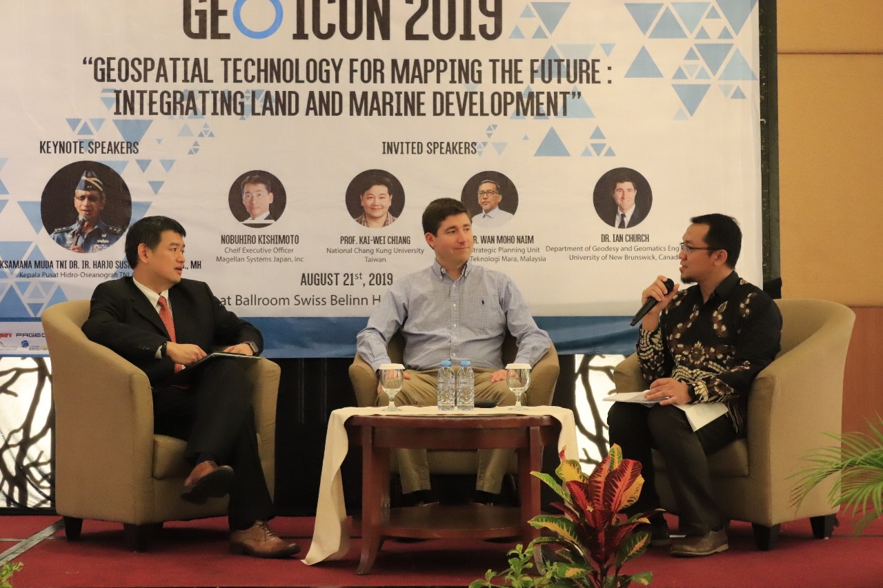
(from left) Prof Kai Wei Chiang from NTUST Taiwan, Dr. Ian Church of the University of New Brunswick Canada, and Danar Guruh Pratomo Ph.D. as moderator
Danar explains, the fact in the field of education the importance of hydrography is good. However, there are still many people both fishermen and businesses who have not been utilizing them to their fullest. “It is currently still in the discussion, there will be a chance that we will involve many parties, especially fishermen,” he said.
Danar explained, the seamap itself is available and updated by the Indonesian Navy Hydrography and Oceanographic Center (PUSHIDROSAL) which is renewed annually. The presence of a good seamap that is admitted by Danar, can minimize the occurrence of sea accidents while improving the economic condition of an area.
Signing of a Memorandum of Understanding
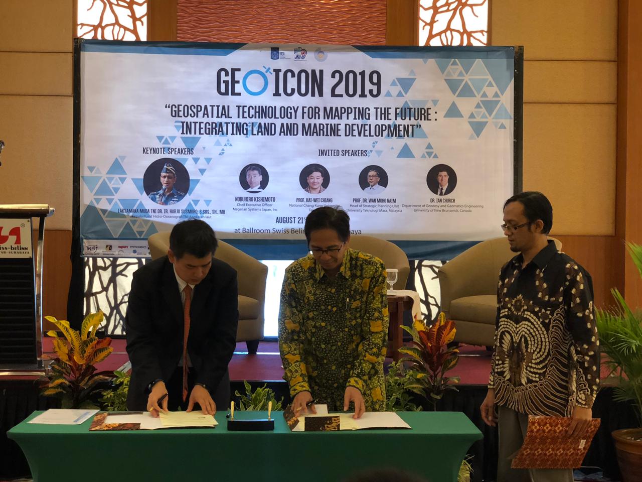
The signing of a memorandum of understanding between ITS Rector Prof. Mochamad Ashari (center) and Magellan System Japan by Nobuhiro CEO Kishimoto (left)
On the same occasion, there was also the signing of a memorandum of understanding between ITS Rector which was represented by Dr. Ir. Mochamad Ashari MEng and Magellan System Japan represented by Nobuhiro Kishimoto. This collaboration is joint-research cooperation focused on digital mapping issues. (owi/rev/ITS Public Relations)
Related News
-
Achieving a GPA of 3.82, Septia Becomes the Best Graduate of the ITS Applied Bachelor’s Degree
ITS Campus, ITS News — Not only from the regular undergraduate (S1) program, but the applied undergraduate (D4) program at
August 25, 2019 17:08 -
At 19 Years Old, Giselle Was Confirmed as The Youngest Graduate at ITS
ITS Campus, ITS News — Even at 19 years and 9 months old, Giselle Hage was officially confirmed as the
August 25, 2019 17:08 -
Supporting the Development of Material Processes, ITS Professors Utilize Biomass Waste
ITS Campus, ITS News — Innovation in material processes continues to develop to support society’s need for environmentally friendly
August 25, 2019 17:08 -
ITS Professor Ideas for Bio-Corrosion Control in Marine Structures
ITS Campus, ITS News — Coastal and offshore buildings interacting directly with seawater trigger damage, including bio-corrosion. If not
August 25, 2019 17:08